From July 9 to 16, 2026, all students of the Geographic Information Science program, Class of 2023, at the School of Earth and Environmental Sciences, Lanzhou University, led by instructors Nian Yanyun, Huang Guanghui, Cao Bo, class supervisor Gong Jie, and Ren Zhiguo from the Northwest Institute of Eco-Environment and Resources, Chinese Academy of Sciences (NIEER, CAS), conducted an 8-day 3S (Remote Sensing, Geographic Information System, and Global Positioning System) field comprehensive practice in Zhangye City, Wuwei City, and Yongdeng County of Lanzhou City, Gansu Province, along the Hexi Corridor and the eastern foothills of the Qilian Mountains. Centered on the theme "rooted in Northwest China, perceiving the Earth, and integrating remote sensing", the itinerary covered key nodes including the Heihe Remote Sensing Experimental Research Station, CAS, the Heihe River Basin Integrated Observatory Network of Land Surface Processes, the Shiyang River Basin Field Observation and Research Station, the Babusha "Two Mountains" Practice and Innovation Education Base, the Shiyang River Basin Water Resources Center, the Liancheng Forest Field Observation and Research Station, the Gansu Data and Application Center of the High-resolution Earth Observation System, and the Gansu Provincial Geomatics Center. By organically integrating classroom theory, field observation, ecological management, and industrial applications, the practice comprehensively deepened the students' understanding of cutting-edge technology and the practical value of Geographic Information Science.
At 14:30 on July 9, in a classroom of the Qinling Hall on the Yuzhong Campus, instructors Nian Yanyun and Gong Jie introduced the specific content of the 3S field practice to all participating GIS students of the Class of 2023. They also explained the precautionary notes and emphasized that field safety is the top priority.
Departure: Heading to the Hexi Corridor in the Rain
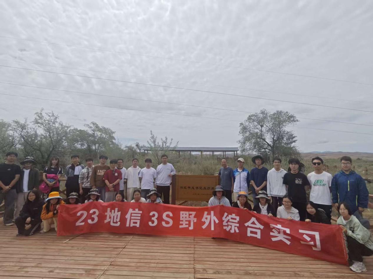
In the early morning of July 10, the students assembled at Shiye Square on the Yuzhong Campus and set off in the rain for Zhangye City—the first stop of this practice: the Heihe Remote Sensing Experimental Research Station, CAS, in Ganzhou District, Zhangye. Along the way, the scenery changed, and the landscape and landforms unfolded step by step, showcasing the unique geographical features of Northwest China. At noon, the team arrived smoothly at Wushaoling. Wushaoling is located at the confluence of the Qinghai-Xizang Plateau, the Loess Plateau, and the Inner Mongolia Plateau, a location of particular geographic significance and an important physical geographic boundary of China. On-site, instructor Huang Guanghui conducted an immersive field lecture based on the local landforms, detailing the comprehensive geographic profile of Wushaoling—including its topography, climate, hydrology, and soils—and emphatically analyzed its value as a monsoon region demarcation point. Wushaoling is a key boundary node between China's monsoon and non-monsoon zones; the warm, moist air masses carried by the southeast summer monsoon are blocked here, creating starkly different climatic and ecological landscapes on the eastern and western sides of the ridge. The vivid on-site explanation made the abstract textbook knowledge of geographic boundaries and monsoon circulation intuitive and tangible. At 19:00 that evening, the team safely arrived at the Heihe Remote Sensing Experimental Research Station, CAS, conserving energy for the upcoming intensive tasks of field observation, remote sensing operation, and data collection.
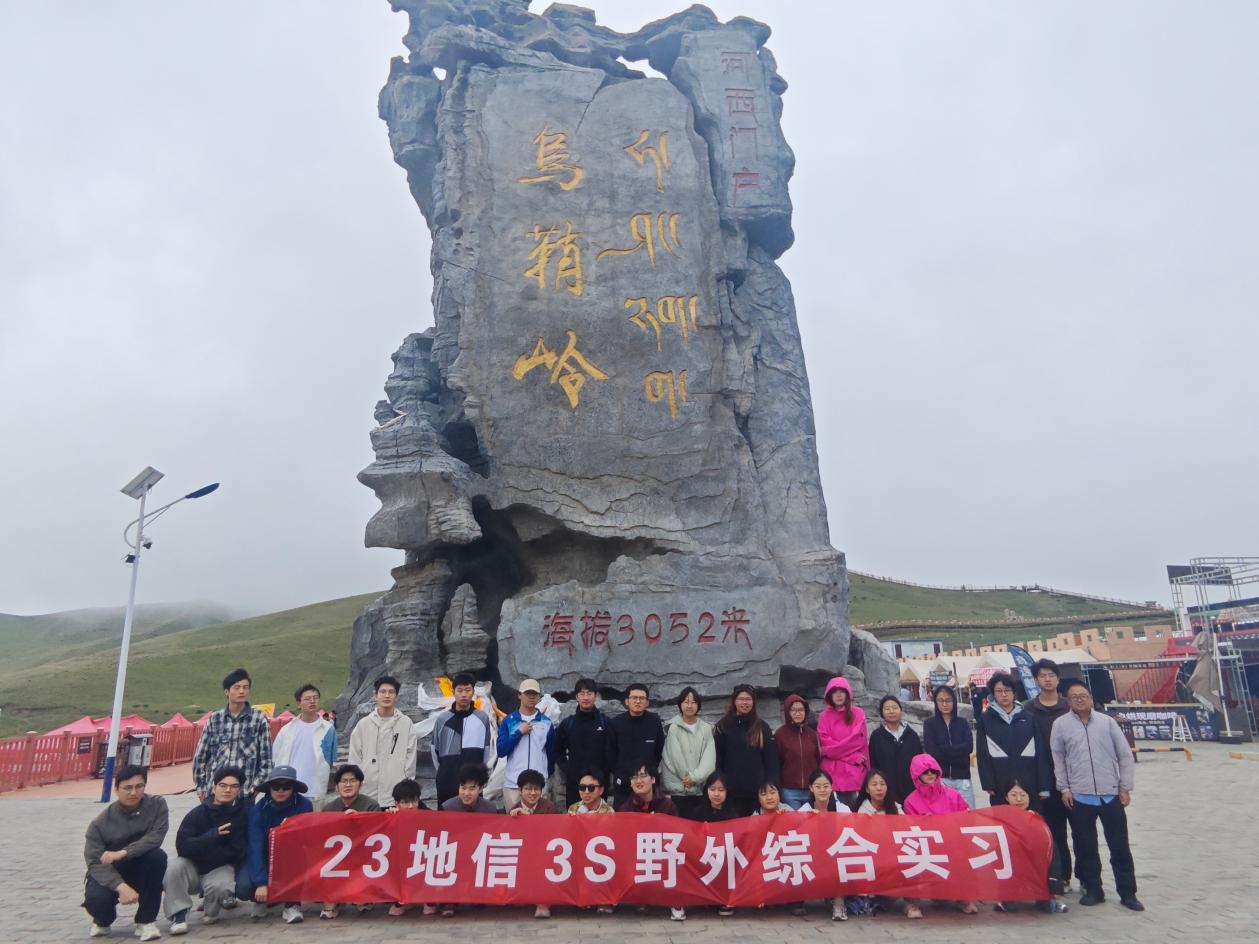
Group photo of the practice team at Wushaoling
Heihe Remote Sensing Station: From Watershed Observation to Microwave Calibration
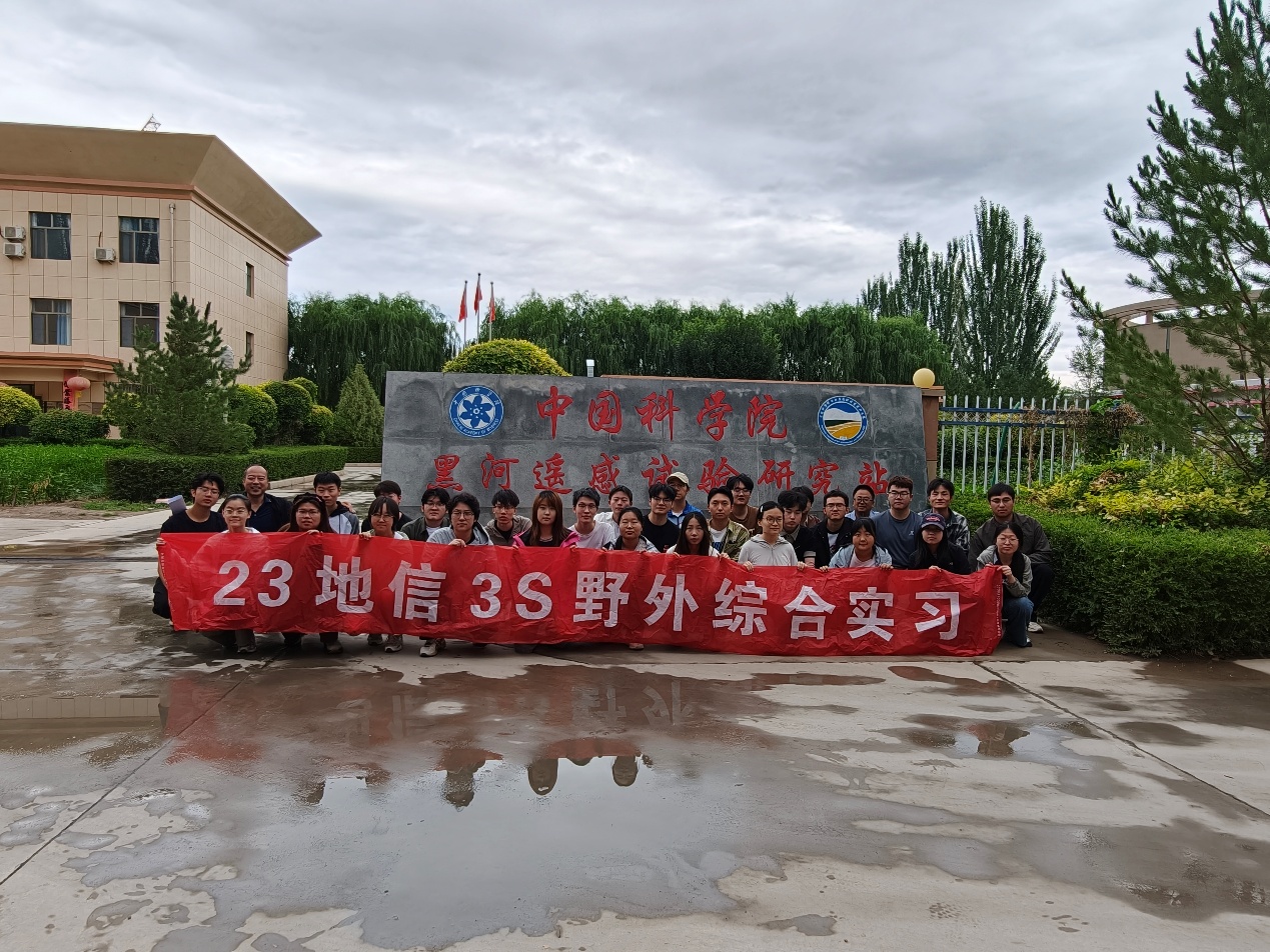
On July 11, the first stop of the practice was the Heihe Remote Sensing Experimental Research Station, CAS, in Ganzhou District, Zhangye—the first field experiment station in western China dedicated to remote sensing science. In the morning, instructor Huang Guanghui gave a systematic lecture in the station's Meeting Room 201, covering the framework of energy budgets in the land–atmosphere system, the crucial role of remote sensing in geoscience research in cold and arid regions, and the overall layout of the hydro-meteorological observation network in the Heihe River Basin. The network comprises 3 super-sites and 21 ordinary sites, covering the upper, middle, and lower reaches of the Heihe River. Encompassing major land-surface types including grasslands, croplands, wetlands, deserts, sandy lands, gobi, and bare lands, it forms a complete basin-scale integrated "satellite–ground–water" observation system.
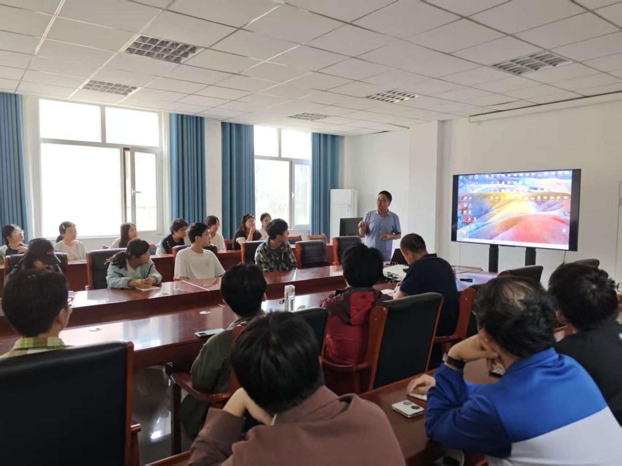
Concentrated study in Meeting Room 201 of the remote sensing station
Afterward, the students visited the microwave calibration anechoic chamber, the standard meteorological observatory, and the remote sensing observation experiment field. In the microwave anechoic chamber, the pure electromagnetic environment created by the absorbing materials gave the students an intuitive understanding of the core principles of microwave radiometer calibration. At the standard meteorological observatory, various devices for gradient measurements of wind, temperature, and humidity, four-component radiation, and soil heat flux were introduced one by one, with the teacher explaining their structures and functions in detail. In the afternoon, the team moved to the Daman Observation and Experiment Site—which consists of the Daman Super-site, scintillometer observation stations, and a soil temperature and moisture observation network. It serves as a key experimental platform for obtaining "ground truth" at the satellite-pixel scale. Instructor Huang Guanghui combined an eddy covariance intercomparison experiment to explain in depth the principles of land-surface water and heat flux observation and the multi-scale observation system, and also shared the current development status of high-end domestic scientific instruments. The first day of practice gave the students a profound appreciation of the practical value of remote sensing physics and quantitative retrieval theory in real-world field settings.
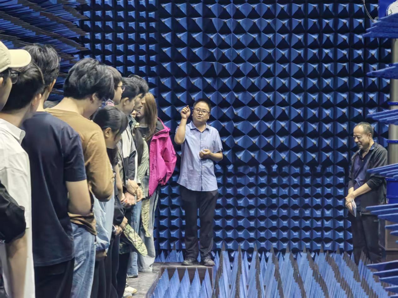
Visiting the microwave anechoic chamber
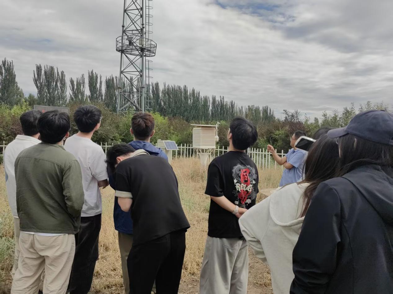
Visiting the standard meteorological observatory
Huazhaizi and Gobi Stations: Coordinated Observation in the Desert and Gobi
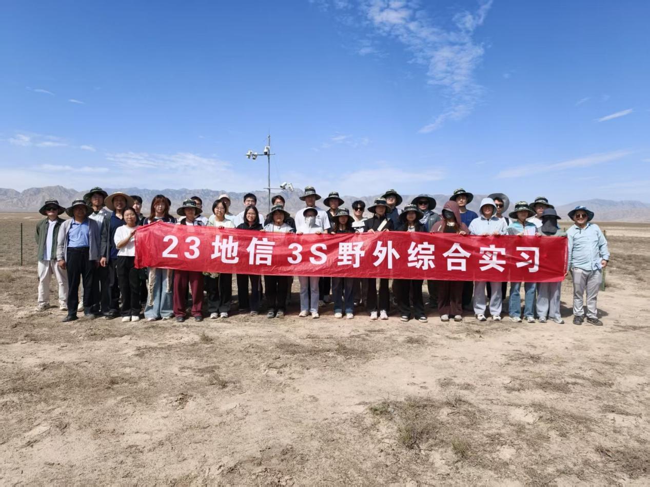
On the morning of July 12, the students visited two specialized observation sites of the Heihe River Basin Integrated Observatory Network of Land Surface Processes successively—Huazhaizi Station and Gobi Station. Huazhaizi Station is situated in a mid-reach piedmont desert area at an elevation of about 1,731 m, where the surface is dominated by sparse Reaumuria and pearl-bush vegetation. Instructor Ren Zhiguo explained the station's long-term mission of monitoring water–heat exchange and energy balance in the desert area and introduced, one by one, the operating standards of the automatic weather station, four-component radiometer, and soil temperature, moisture, and heat flux monitoring equipment. Teachers and students engaged in a lively discussion on the issue of energy balance closure in desert regions.
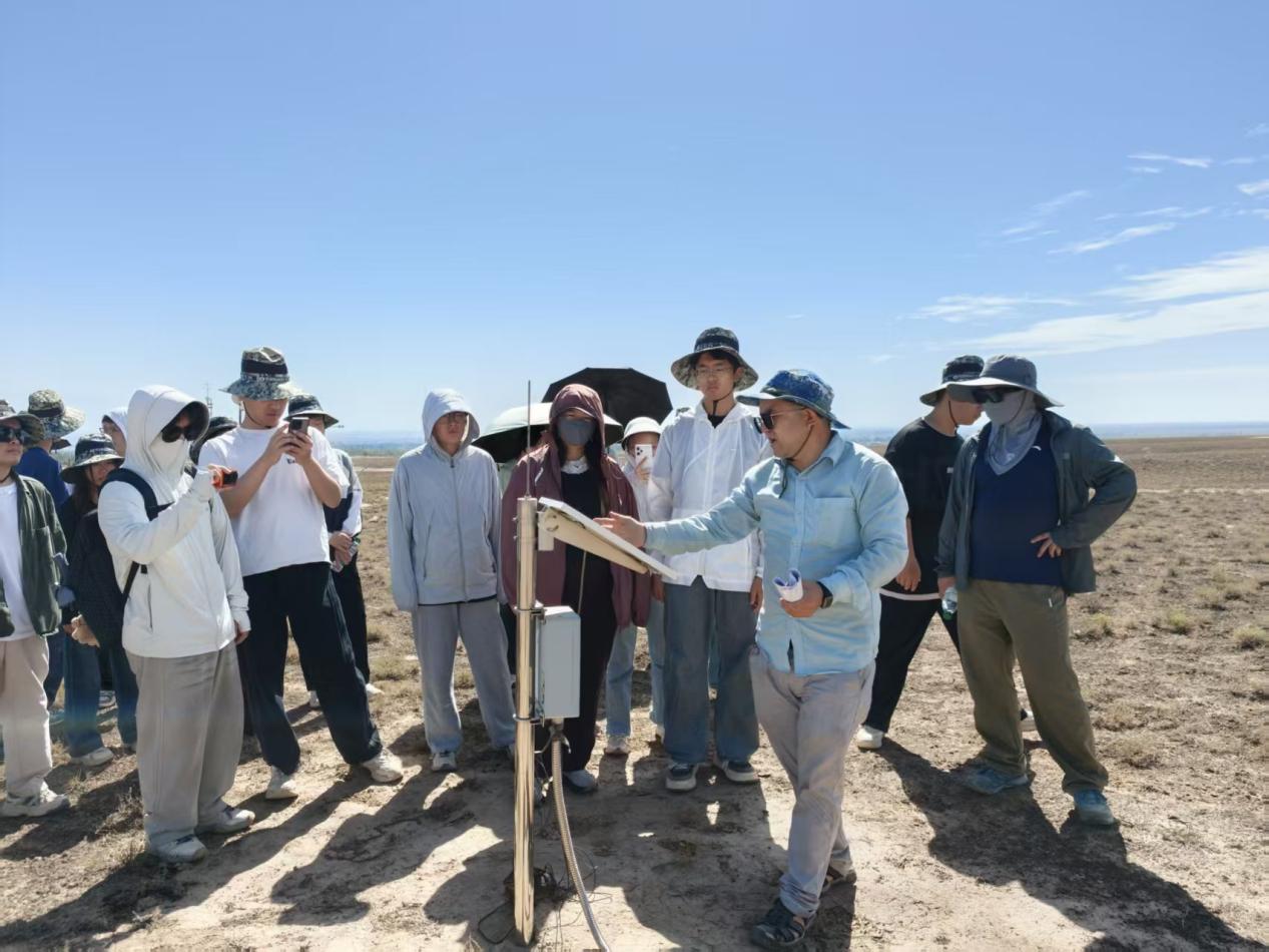
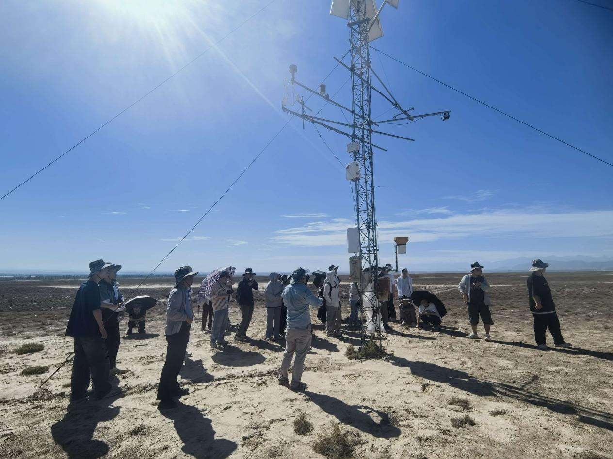
Visiting Huazhaizi Station
The next stop, Gobi Station, was established to supplement land-cover types in the basin and enhance the spatial representativeness of the observation network. By comparing the observed elements, environmental conditions, and data application directions of the two stations, the students deeply realized the importance of multi-site coordination for the validation of remote sensing products and scale-conversion studies. This intensive field teaching gave everyone an intuitive understanding of land-surface processes in desert and gobi environments.
Along the Heihe River, the Wetland Tower, and Shiyang River Station: Hydro-Remote Sensing and Integrated Basin Research
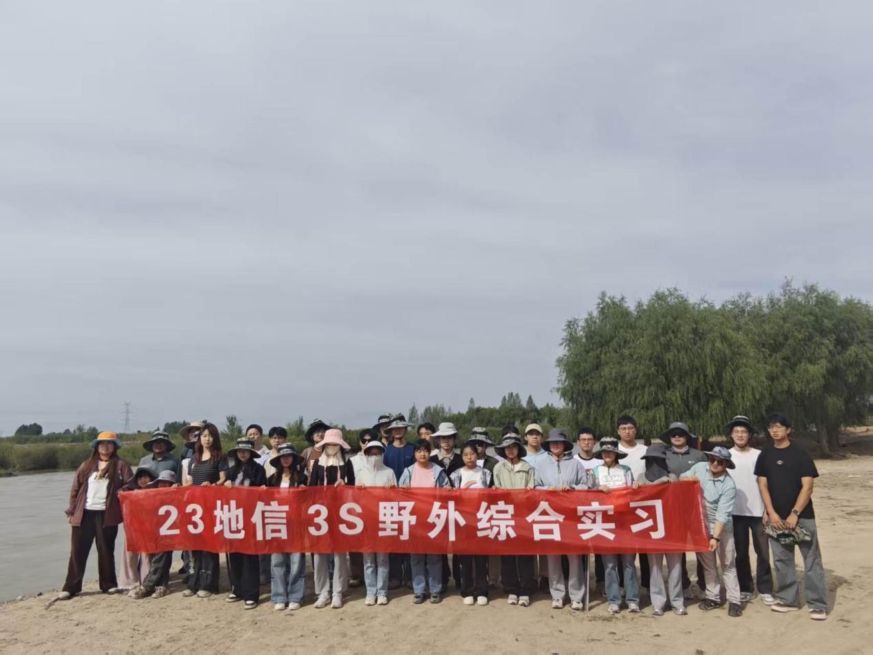
On July 13, the practice team started a full-day exploration of "Golden Zhangye in the morning, Silver Wuwei in the afternoon". In the morning, teachers and students first went to the Heihe riparian remote sensing observation station, where Instructor Ren Zhiguo introduced the station's long-term monitoring tasks for the Heihe River runoff, groundwater recharge, and riparian evapotranspiration. He demonstrated how automatic weather stations, soil moisture profile monitoring systems, and riverbank radar velocimeters are cross-validated with satellite images to enhance the accuracy of hydrological models. They then visited the wetland observation station at Zhangye National Wetland Park, where Instructor Ren led the students up a 10-meter observation tower and explained in detail the design principles of the eddy covariance system, temperature and humidity sensors, and methane analyzer, stressing the crucial significance of methane emission fluxes for evaluating the source–sink function of wetland greenhouse gases.
That afternoon, the team arrived at the Shiyang River Basin Field Observation and Research Station of Lanzhou University, located at the outlet of the Qilian Mountains in Liangzhou District, Wuwei City. Situated at a key node of the three major plateaus and the Belt and Road Initiative, the station lies with the Qilian Mountains as an ecological barrier upstream and a river corridor downstream that prevents the convergence of the Badain Jaran and Tengger deserts; its landscape zonality is pronounced. In the station's conference room, Instructor Cao Bo systematically introduced the station's history, research team, observation system, and representative achievements, and then led the students on a tour of the station facilities. Since 2006, the research team has been rooted in the Qilian Mountains, adhering to the integration of traditional glaciology and modern remote sensing technology to construct an integrated "satellite–air–ground" monitoring network. This gave the students a deep appreciation of research on the cryosphere, critical zone, and basin hydrological processes.
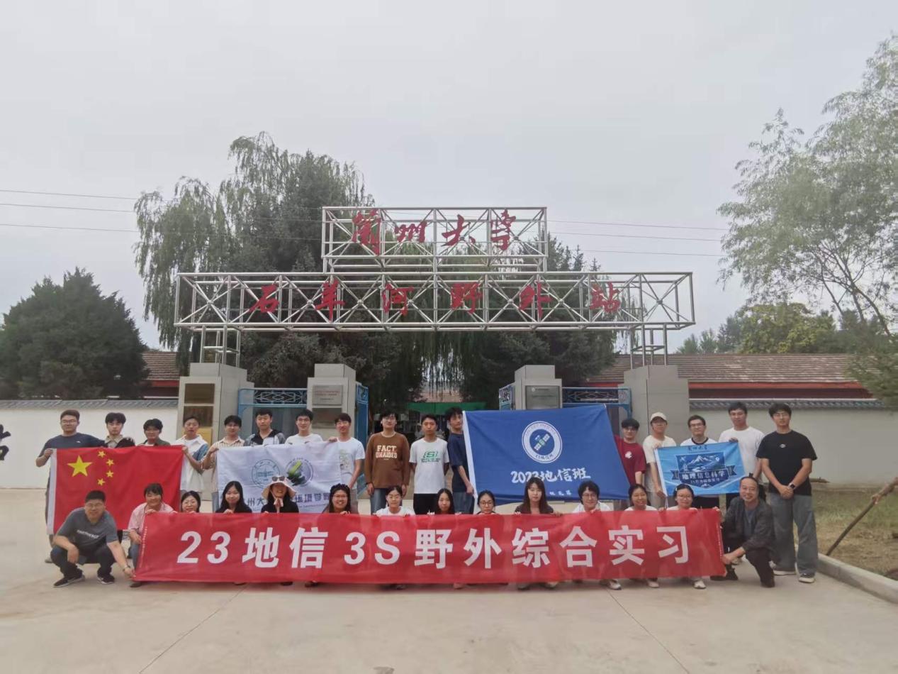
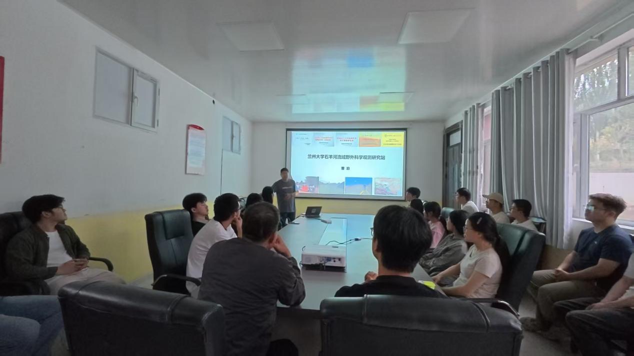
Introduction to the Shiyang River Station
Babusha and the Shiyang River Center: Ecological Civilization and Digital Water Resources Management
On July 14, the practice focused on ecological civilization practice and digital water-resource management. In the morning, teachers and students visited the Babusha Forest Farm "Two Mountains" Practice and Innovation Education Base in Gulang County and toured the "Six Old Men" Sand Control Memorial Hall. Through photographs, objects, and videos, the hall vividly recreated the heroic feats of the six elderly men who persisted in sand control and afforestation for forty years—from pressing their fingerprints to contract the desert, to completing afforestation over more than 300,000 mu, raising the farm's vegetation coverage from less than 3% to over 70%, and forming a green windbreak and sand-fixation corridor. Subsequently, Guo Wangang, director of the Babusha Forest Farm and a second-generation sand controller, gave a special lecture titled "A Promise for Green". He recalled with deep emotion the painful lesson of the catastrophic sandstorm on May 5, 1993, recounted the arduous journey of leading sand controllers into the southern edge of the Tengger Desert, and encouraged the students to contribute to desertification monitoring using remote sensing and geographic information technology. The simple yet resolute narrative deeply planted the Yugong spirit of "never bowing to hardship and daring to turn deserts into oases" in the heart of every student.
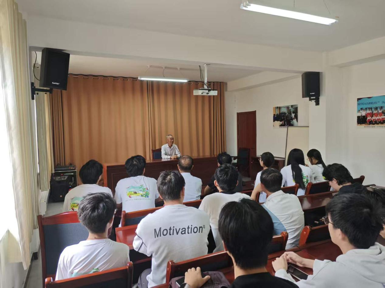
Lecture by Mr. Guo Wangang
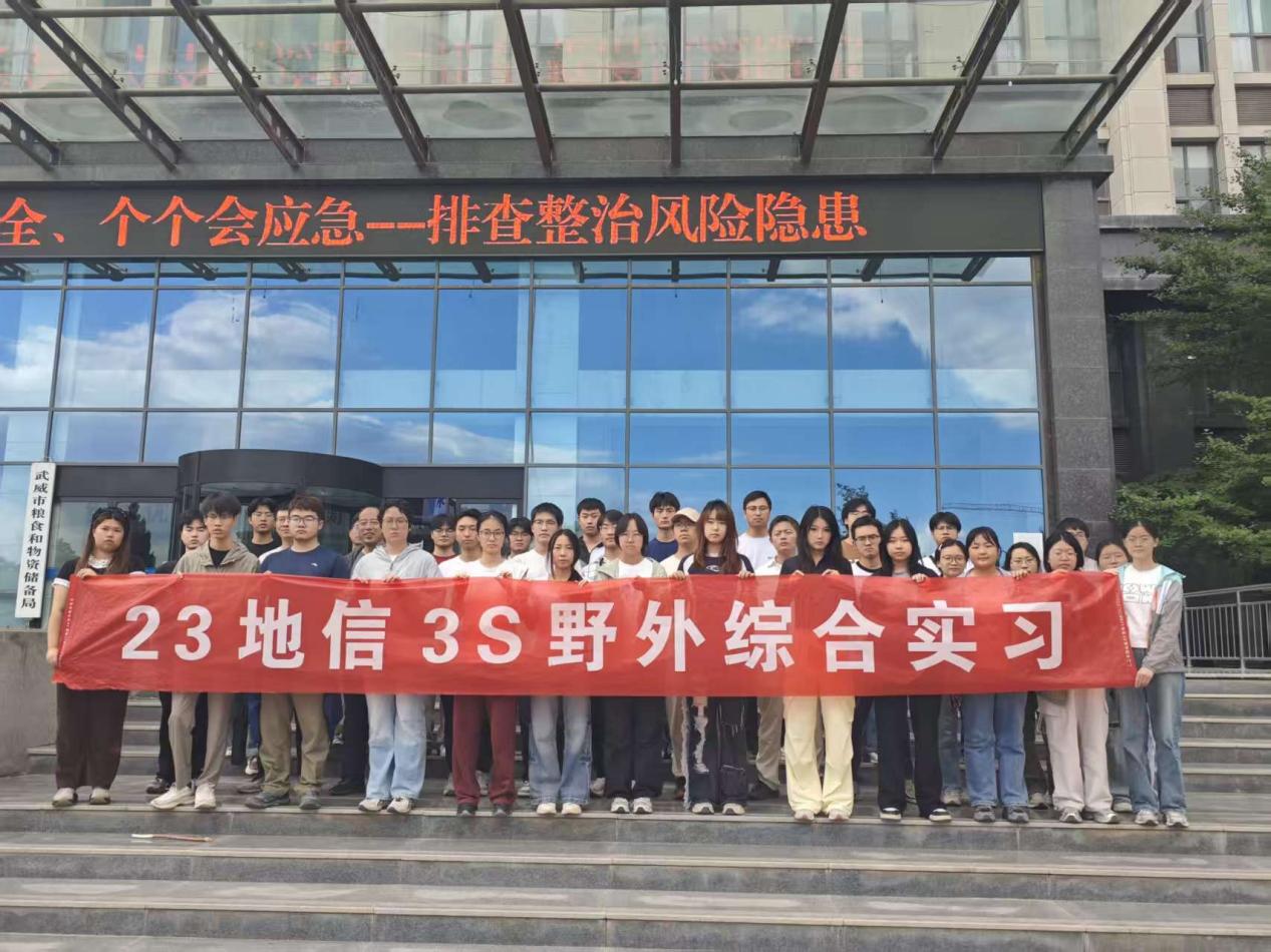
In the afternoon, the teachers and students visited the Shiyang River Basin Water Resources Center of the Gansu Provincial Department of Water Resources, where they observed the smart water-resource management platform on site. Staff demonstrated system functions such as the "One Map" of basin water-resource information, surface-water monitoring, groundwater-level monitoring, electronic fencing, and water administrative law enforcement. The cutting-edge technologies of digital twin watershed construction and real-time data transmission from the monitoring station network allowed the students to directly perceive the deep integration of remote sensing, GIS, and big data in the fine-scale management and control of water resources, greatly enhancing their sense of professional mission.
Eastern Foothills of the Qilian Mountains: Danxia Landforms, Water Conservancy Projects, and Forest Ecology
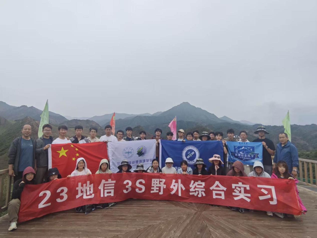
On July 15, the practice team carried out a comprehensive field survey along the eastern foothills of the Qilian Mountains. The students braved the rain and drove along the G30 Lianhuo Expressway onto the Tian-Hu Highway, passing through the Tianzhu Little Three Gorges. The first stop was Duobudan Mountain (elevation 3,607 m), where the russet-red Danxia pinnacles showed distinct bedding, with clear streams and forests complementing each other. The students observed on-site the rock-layer structures shaped by Cretaceous geological movements and discussed the regional geological evolution. They then visited the Yinda-Ruqin Project—a cross-basin gravity-fed irrigation project that diverts water from the Datong River eastward over 120 km to Qinwangchuan, comprising 77 tunnels with a total length of 110 km and known as "China's artificial underground river". Along the way, instructors Nian Yanyun and Gong Jie gave detailed introductions to the frontier advances in remote sensing-based forest vegetation classification, the background of ecological engineering construction, and technical difficulties, helping students realize the foundational role of vegetation cover and large-scale water conservancy projects for regional development and ecological security. Finally, the team arrived at Tulugou National Forest Park (Liancheng Forest Field Observation and Research Station), where they learned about the characteristics of the forest ecosystem and the scientific research functions of the Liancheng Tulugou Field Station of Lanzhou University, accumulating perceptual knowledge for further in-depth study.
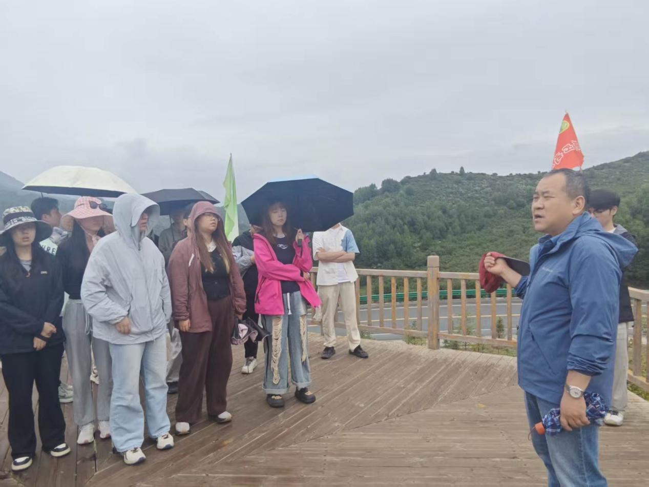
Introducing the situation of the Qilian Mountain National Park and nature reserves
Gaofen Gansu Center and the Provincial Geomatics Center: The Full Chain of Remote Sensing Data and Geographic Information Services
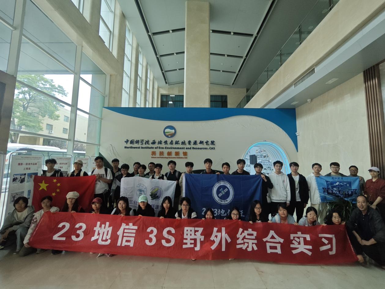
On July 16, the final day of the practice, the teachers and students visited the Gansu Data and Application Center of the High-resolution Earth Observation System (Gaofen Gansu Center) and the Gansu Provincial Geomatics Center (Satellite Surveying and Mapping Application Center) successively. The Gaofen Gansu Center, a regional data center approved by the State Administration of Science, Technology and Industry for National Defense, holds high-level permissions to receive data from multiple satellite series including Gaofen, Ziyuan, Huanjing, and Fengyun. Staff introduced the complete Earth observation system from Gaofen-1 to Gaofen-7, demonstrated the entire workflow of data reception, preprocessing, distribution, and high-performance automated processing, and shared the center's application demonstrations in fields such as natural resources, ecological protection, emergency management, and cultural heritage conservation. The students deeply realized the supporting role of domestically produced high-resolution satellite data in national strategies.
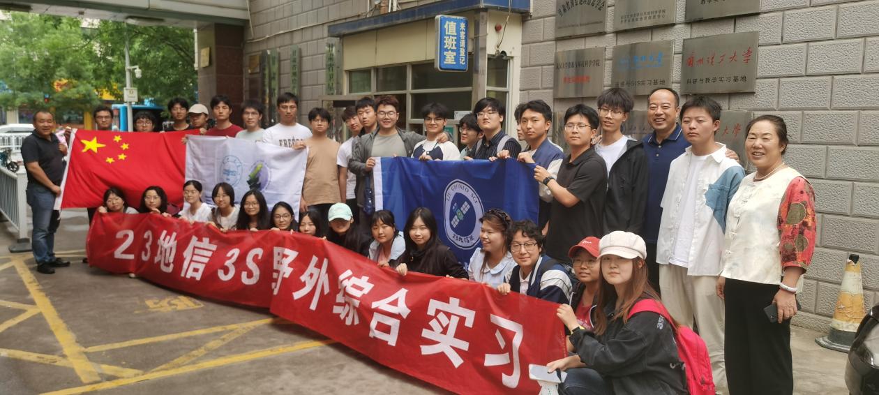
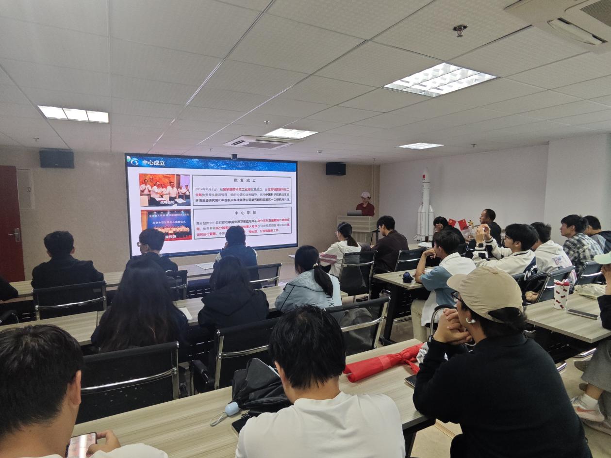
In the afternoon, at the Gansu Provincial Geomatics Center ("Geomatics Center"), Senior Engineer Li Chourong, a member of the Center's Party Committee, introduced the center's main functions and development. Senior Engineer Lei Ying from the Production Technology Division—a 2002 graduate of the Geographic Information Science program of our university—gave a presentation and video introduction about the center's work. The students then toured the Surveying and Mapping Geographic Information Service Hall, the Big Data Center, the Map Compilation Department, and the Remote Sensing Inspection Department, learning about core responsibilities including provincial fundamental geographic information database construction and updating, geographic conditions census and monitoring, public service platform operation and maintenance, and remote sensing image distribution. The advanced business processes and information-based surveying and mapping system gave the students a clear understanding of the career prospects in the geographic information profession.
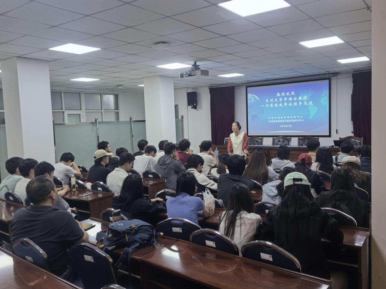
Over six days of practice, from the banks of the Heihe River to the foot of the Qilian Mountains, from the microwave calibration anechoic chamber to the smart water resources platform, from the sand-control memorial hall to the Gaofen data center, the itinerary was tightly packed and richly substantive. The students not only rooted classroom theories—remote sensing physics, quantitative retrieval, land-surface processes, and GIS applications—in real-world field settings, but were also nurtured by the sand-control spirit and the sentiment of serving the country through science and technology, strengthening their conviction to serve ecological civilization construction and digital economy development. This comprehensive practice was both a tempering of professional competence and a fostering of national sentiment, leaving a solid Northwest imprint on the growth path of the Geographic Information Science students of the Class of 2023.


